01 Raw scene
Raw scene
Public Sentinel-2 false colour, before any overlay.
49° N · 123° W · Vancouver
I take a scene apart until the part that matters is obvious. Lately the scene is a place: a satellite frame, a stack of sensors, a scanned map that still will not sit on the ground it claims.
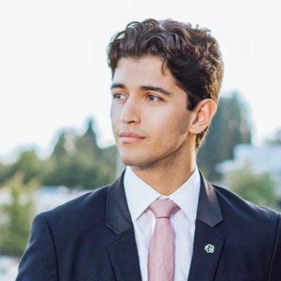
CTO at SPARC Global. I co-founded DYNE and exited. I spent a year on neural architecture search at Huawei, overlapping the start of DYNE, and I studied computer engineering at UBC.
SCAN · CHANGE MASK
About
I co-founded DYNE and exited. I was co-founder, CTO, and a board member. I am CTO at SPARC Global. I spent a year on neural architecture search at Huawei, and I studied computer engineering at UBC. One paper is public, arXiv 2302.10835.
Scene
01 Raw scene
Public Sentinel-2 false colour, before any overlay.
02 Segmentation
Regions outlined on the frame.
03 Change mask
Places that read as changed, filled in.
04 Georeferenced overlay
A grid and control points locked to the scene.
Contains modified Copernicus Sentinel data (2024), processed by ESA.
Recorded
Marketing traffic lift at DYNE.
People across engineering, models, and GIS at SPARC Global.
Work
2025 to now
Chief technology officer
I turned a services firm toward products. Atlas is built. It ships segmentation, change detection with a zero-shot vision-language pass, anomaly detection, and automatic georeferencing. An agent on the same stack can use the map.
12 people work across engineering, models, and GIS. The same core runs in a cloud account or on machines that never touch the public network, when the data has to stay in the building.
May 2020 to Jun 2025
Co-founder, CTO and board member
A growth system for restaurants and retail. It read sales, inventory, foot traffic, and what was happening outside the door, then proposed demand, price, staffing, and the campaign. Marketing traffic lift: 500%.
I owned the product and the engineering: the service, the web and mobile clients, and the models. Multi-tenant, on managed Kubernetes, with a document store, single sign-on, and an edge front. I was the technical owner of the SOC 2 program. We exited.
Jan 2021 to Dec 2021
Machine learning researcher
Edmonton, overlapping the start of DYNE. Neural architecture search. I worked on a predictor that reads a network as a computation graph, so it can rank a family it was not built for.
The public paper is on the Papers sheet. Other manuscripts from that year stay off this site until I have confirmed they are public.
May 2020 to Dec 2020
Teaching assistant
Labs and office hours for undergraduate programming and software engineering. Some of the assignments I wrote were taken into the course.
2018 to 2023
BASc, Computer Engineering
GPA 4.0. Dean's list. Courses included advanced machine learning, natural language processing, artificial intelligence, software engineering, and new venture design. Payload and avionics with the student rocket team.
Atlas
49° N · 123° W · Segmentation
Regions on the frame, cut before anything is named.
Two dates, and a zero-shot vision-language pass when the class list is not fixed.
What does not belong in the scene.
A scanned sheet locked to the satellite frame. It fails closed when the residual is too high.